Otto Keller · 16 October 2026
Transnational University Partnerships Accelerate Data Gathering on Baltic Harbors Facing Environmental Pressures
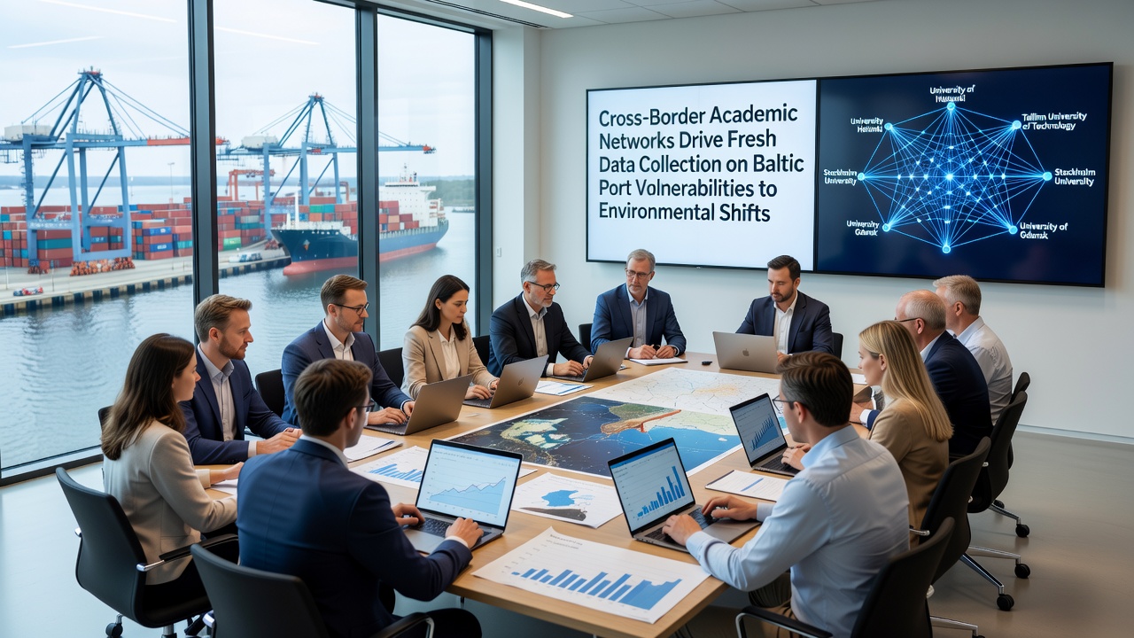
Cross-border academic networks have expanded their focus in recent years, channeling resources into systematic data collection that tracks how Baltic ports respond to rising sea levels, shifting weather patterns, and coastal erosion. These partnerships connect institutions in Poland, Sweden, Germany, Finland, and Estonia, creating shared databases that combine sensor readings with historical records. Data streams now cover variables such as tidal fluctuations, sediment movement, and infrastructure stress indicators across major facilities including Gdańsk, Riga, and Tallinn.
Network Structure and Data Protocols
Universities coordinate through joint protocols that standardize measurement techniques, allowing teams to compare results across borders without discrepancies caused by differing equipment calibrations. In practice this means temperature loggers, wave buoys, and structural strain gauges feed into a common repository updated monthly. Observers note that such alignment reduces duplication and speeds up identification of regional trends that single-nation studies might miss. Researchers at participating institutions exchange raw datasets quarterly, while working groups refine collection methods based on gaps identified in previous cycles.
October 2026 marks the scheduled release of an integrated dataset covering five consecutive years of observations from twelve port sites. Analysts expect the release to include refined models that project how storm surge frequency could affect cargo handling schedules and maintenance cycles. The timing aligns with broader European climate reporting cycles, giving policymakers access to port-specific metrics that complement continent-wide assessments.
Key Vulnerability Indicators Under Review
Collected information highlights several recurring patterns. Ports situated on low-lying reclaimed land show accelerated subsidence rates when combined with higher groundwater salinity. Wave action data reveals that certain breakwater designs experience greater fatigue during prolonged wind events than older stone constructions. Sediment transport studies indicate that dredging requirements may increase by measurable percentages in channels where current patterns have shifted over the past decade. These findings emerge from cross-checked readings rather than isolated observations.
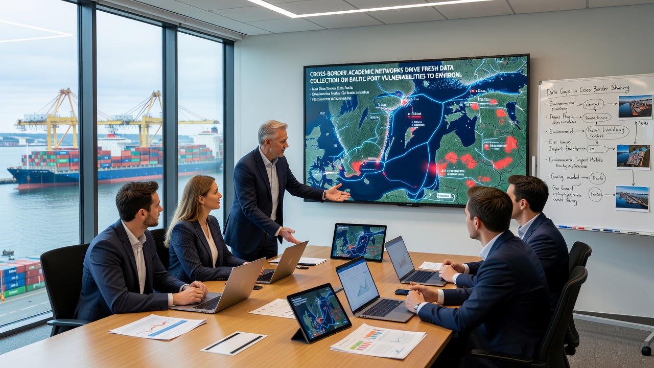
Teams also gather socioeconomic layers that link physical measurements to operational impacts. Cargo throughput statistics from port authorities are cross-referenced with downtime records during extreme weather episodes. This approach produces datasets that illustrate how environmental variables translate into scheduling delays and insurance cost adjustments. One study revealed that ports with higher automation levels experienced shorter recovery times after storm events, a pattern visible only when multiple sites supplied comparable operational logs.
Regional Comparisons and External Benchmarks
Comparisons extend beyond the Baltic region through links with research groups monitoring similar challenges in the North Sea and Great Lakes. Data exchange agreements allow Baltic teams to test whether predictive algorithms developed elsewhere perform when applied to local bathymetry and ice-cover conditions. Such benchmarking helps isolate factors unique to the semi-enclosed Baltic basin versus open-ocean environments. According to European climate resources, regional sea-level rise rates remain below global averages yet show localized amplification near river deltas where ports cluster.
Additional calibration comes from NOAA climate datasets that supply satellite-derived sea-surface temperature trends for validation against in-situ buoy readings. Researchers adjust local models when discrepancies exceed set thresholds, maintaining accuracy across seasons that include both ice formation and summer heatwaves.
Future Data Collection Phases
Upcoming phases will incorporate drone-based lidar surveys of quay walls and automated underwater vehicles that map scour around pilings. Funding cycles already approved through 2028 support continuous operation of the sensor network plus expansion into smaller harbors that previously lacked instrumentation. Training programs run by the academic consortium prepare graduate students to maintain equipment and interpret multivariate outputs, ensuring continuity as senior researchers rotate through projects.
Conclusion
The sustained effort by these transnational networks continues to build a growing archive that supports both immediate operational decisions and longer-term infrastructure planning. Regular data releases, including the one planned for October 2026, provide ports with updated vulnerability profiles grounded in consistent measurement practices across borders. The resulting information base enables authorities to align maintenance priorities with observed environmental trajectories rather than relying solely on historical averages.